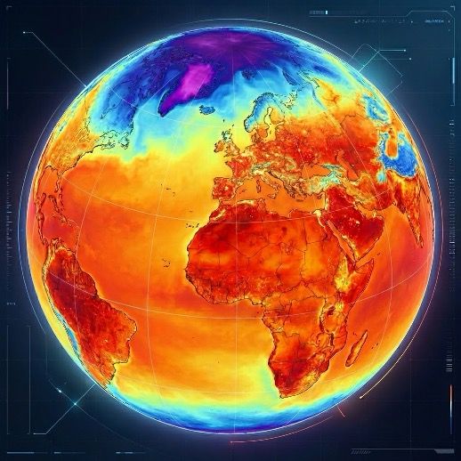
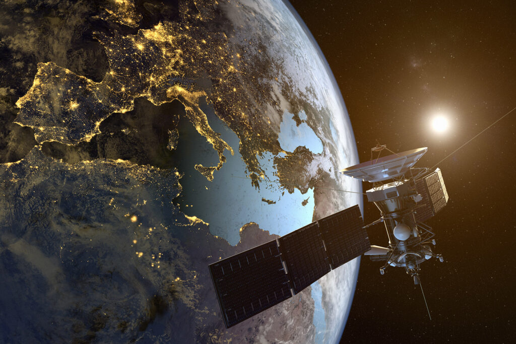
Thermal Intelligence From Space
Built For Urban Customers.
Covering ~2,500 km² sqm
Zero Gravity Thermal was created through our work with clients using the UrbanAI Earth Observation analytics platform. We build thermal infrared payload for CubeSat to provide high-resolution thermal imagery to monitor Planet for heat sources.
€550K Secured ESA Phi lab, Finland , CASSINI Business incubator


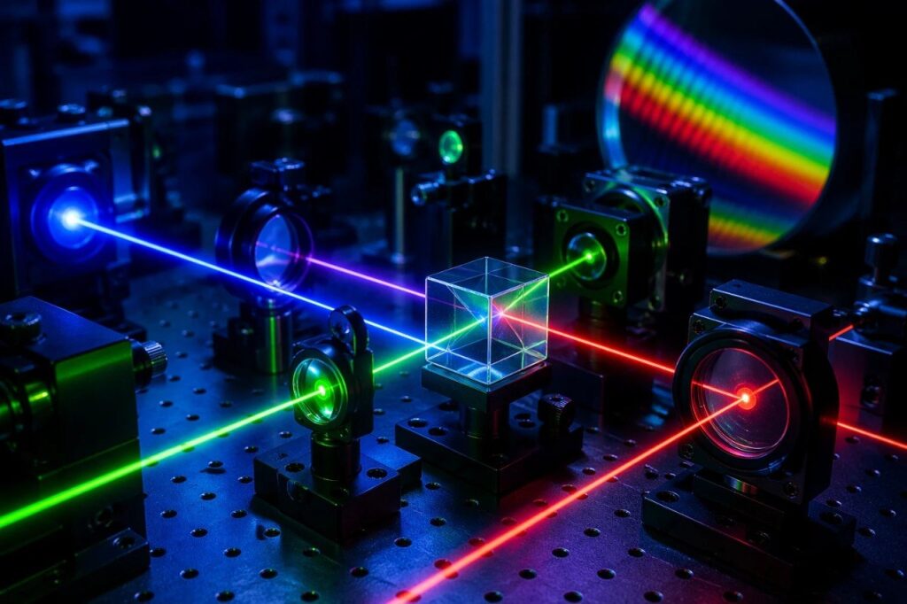
+ 20 years of experience in Optics & Photonics from Research
1st Winner European & Singaporean startup competition
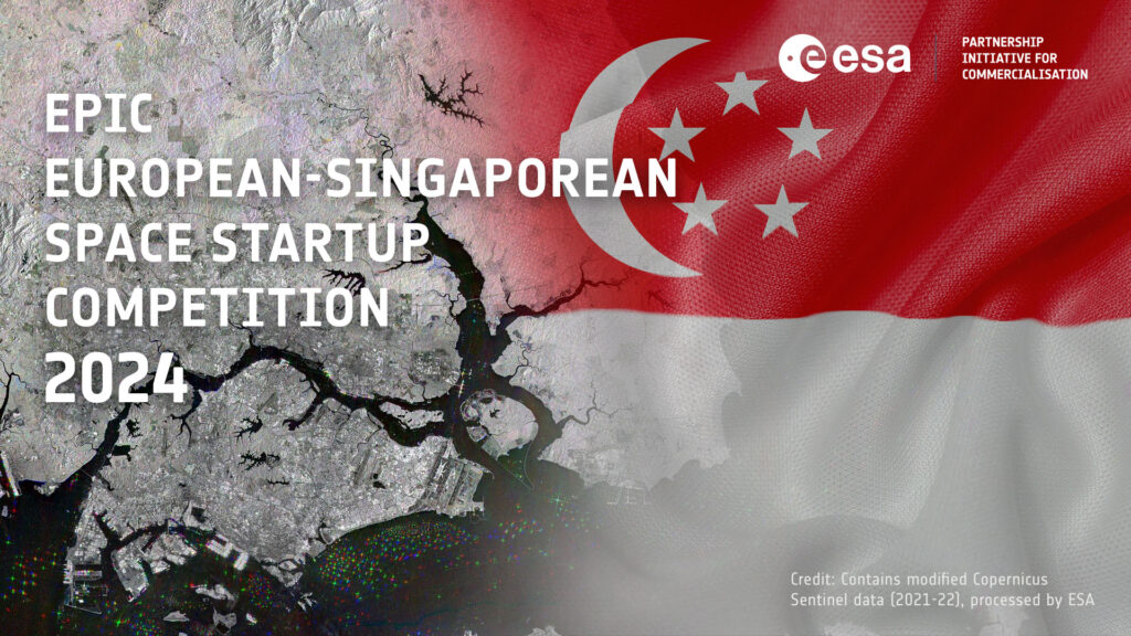
We are among 20 selected from 141 applications

PhD team has +20 years in Optics with more 100 peer review publications
LoI
0
7 Lol
1
earth observation R&D & client projects
Renewable energy, smart city and water monitoring
20 earth observation R&D & client projects : Renewable energy, smart city and water monitoring
years
+
0
of software development
+20 years of software development
years
+
0
in space tech
business and AI
+7 in space tech business and AI
- Hardware
Our Story
- We are commercial / have paying clients
- Unique technology: advanced TIR optics to fit into CubeSat constrains
- Growth (we are partnering with strategic partners)
Zero Gravity Thermal was born directly from our interaction with clients that are using our UrbanAI Earth Observation analytics platform. Over the past years, we have collaborated with renewable energy, smart city authorities, and water monitoring clients across Europe. While delivering data-driven insights and EO maps through UrbanAI, one consistent message emerged: existing thermal satellite data is not sufficient.
Our clients needed high-resolution thermal imagery to:
- Monitor heat anomalies in renewable energy facilities
- Measure land surface temperature at street and building scale
- Detect oil spills and thermal pollution in water bodies
- Identify early signs of environmental and infrastructure stress
Current thermal Earth Observation systems operate at ~1 km resolution, where a single pixel can cover multiple football fields. At this scale, asset-level overheating, urban heat islands, oil spills, and disaster boundaries remain undetectable.
Resolution is too coarse. Revisit rates are too limited.
As a result, critical thermal insights remain invisible exactly where infrastructure operates and where risk actually matters.
This was not technology push — it was customer pull.
Driven by real operational demand, we made a strategic decision: to build our own high-resolution thermal CubeSat constellation and unlock thermal intelligence that has been unavailable until now.
Over the past years, we have collaborated with renewable energy, smart city authorities, and water monitoring clients across Europe. While delivering data-driven insights and EO maps through UrbanAI, one consistent message emerged: existing thermal satellite data is not sufficient.
- A New Thermal Capability
Guaranteeing High-resolution thermal data for heat sources where it is needed most.
Zero Gravity Thermal is developing a high-resolution thermal payload for CubeSats to deliver:
- 100x breakthrough in resolution.
- 1st thermal Cubesat payload to focus on urban use cases.
- Thermal maps and corresponding analytics.
- EdgeAI onboard processing.
Discover Our Domains
Unlocking insight beyond current technology limits with thermal imagery
Successes so far


News
Secured
ESA Phi lab, CASSINI
News
Secured
ESA Phi lab, CASSINI
News
Secured
ESA Phi lab, CASSINI
News
Secured
ESA Phi lab, CASSINI
Growing Through Partnerships. Grow With Us.
We are expanding together with industrial and strategic partners to deploy this capability at scale.
We collaborate with:
- Infrastructure and energy operators
- Smart cities, ports
- Public authorities and research institutions
- Space and downstream data partners
- ZERO GRAVITY THERMAL
Thermal infrared payload for CubeSats to enable high-Resolution Thermal Intelligence from Space
The Zero Gravity Thermal Payload is the core technological foundation next-generation thermal intelligence infrastructure.
Today's thermal satellites are too coarse to support real operational decisions. Cities cannot see heat at street level. Renewable energy operators cannot detect asset-level overheating. Environmental authorities cannot precisely localize oil spills or thermal pollution. Disaster response teams lack high-resolution thermal visibility for rapid action. Europe also lacks sovereign access to sub-10-meter thermal infrared capability.
- The Zero Gravity Thermal Payload closes this gap by delivering high-resolution (3.5–10 m) thermal imaging in the 8–14 µm long-wave infrared spectrum — representing more than a 100× breakthrough in spatial resolution compared to typical EU thermal satellites.
While current satellites operate at around 1 km resolution — where a single pixel can cover an area equivalent to multiple football fields — our technology reduces this to just 3–10 meters. At this scale, operators can detect overheating in renewable energy facilities, directly locate urban heat islands, identify oil spills in ports, monitor localized thermal pollution, and assess damage following natural disasters.
High-resolution thermal imaging also enables faster and more precise damage assessment after floods or wildfires, and supports search and rescue operations by detecting heat signatures in complex environments.
The innovation extends beyond resolution. We are engineering advanced thermal optics that fit within CubeSat size constraints, combined with AI-based super-resolution techniques to enhance image quality and anomaly
Crucially, the payload is fully integrated with our validated UrbanAI analytics platform transforming raw thermal data into actionable, decision-ready intelligence.
Driven by proven market demand from our existing Earth Observation analytics clients, the Zero Gravity Thermal Payload is more than a hardware innovation — it is a strategic infrastructure asset enabling asset-level thermal situational awareness from orbit, climate resilience, disaster resilience, and digital sovereignty.
High-resolution thermal imaging also enables faster and more precise damage assessment after floods or wildfires, and supports search and rescue operations by detecting heat signatures in complex environments.
The innovation extends beyond resolution. We are engineering advanced thermal optics that fit within CubeSat size constraints, combined with AI-based super-resolution techniques to enhance image quality and anomaly
- Deep Tech with Proven Foundation
Our R&D team brings decades of experience in optics, photonics, holography, and metrology, with PhD-level expertise and over 100 peer-reviewed publications. This depth of knowledge underpins our ability to deliver cutting-edge thermal payloads and operational analytics.
LIVE FEED SIMULATION
Temperature Time Series
High-Fidelity Use Cases
Renewable Energy Monitoring
Energy Asset Monitoring
Detect overheating and inefficiencies in renewable infrastructure.
- Overheating wind turbines
- Solar farm faults & string failures
- Battery storage thermal stress
Enables:
- Early anomaly detection
- 20–30% asset lifetime extension
- Reduced O&M costs
- Improved generation efficiency
Oil Spill & Water Pollution Detection
Thermal contrast enables detection of:
- Small-scale oil spills
- Illegal discharge
- Industrial thermal plumes
- Coastal pollution spread
Supports:
- Ports & maritime authorities
- Environmental agencies
- Insurance & compliance monitoring
Pinpoint thermal anomalies linked to pollution & ecosystem stress. Detect and localize spills with thermal contrast in port and coastal zones.
Smart City Thermal Intelligence
Identify and monitor heat islands at street and neighborhood scale.
High-resolution thermal mapping for:
- Building insulation losses
- District heating inefficiencies
- Road stress & surface heat damage
- Urban heat islands
Enables:
- Energy efficiency planning
- Climate adaptation strategies
- Infrastructure stress monitoring
Disaster & Emergency Monitoring
Thermal detection of:
- Disaster boundaries
- Flood-affected thermal signatures
- Infrastructure stress zones
- Short-lived emergency events
Supports rapid situational awareness for authorities.
Why We Are Unique
- >100× breakthrough
- Advanced proprietary thermal optics for CubeSat constraints
- PhD led team with with more than 100 peer review publications
- 3.5–10 m thermal resolution — >100× breakthrough to enable high-resolution thermal intelligence
- Advanced proprietary thermal optics engineered for CubeSat constraints
- EdgeAI onboard data processing
- Integrated analytics platform (UrbanAI)
- European sovereign thermal capability
- PhD led team with more than 20 years experience in Optics with more than 100 peer review publications
While current satellites operate at around 1 km resolution — where a single pixel can cover an area equivalent to multiple football fields — our technology reduces this to just 3–10 meters. At this scale, operators can detect overheating in renewable energy facilities, directly locate urban heat islands, identify oil spills in ports, monitor localized thermal pollution, and assess damage following natural disasters.
High-resolution thermal imaging also enables faster and more precise damage assessment after floods or wildfires, and supports search and rescue operations by detecting heat signatures in complex environments.
The innovation extends beyond resolution. We are engineering advanced thermal optics that fit within CubeSat size constraints, combined with AI-based super-resolution techniques to enhance image quality and anomaly
Crucially, the payload is fully integrated with our validated UrbanAI analytics platform transforming raw thermal data into actionable, decision-ready intelligence.
Driven by proven market demand from our existing Earth Observation analytics clients, the Zero Gravity Thermal Payload is more than a hardware innovation — it is a strategic infrastructure asset enabling asset-level thermal situational awareness from orbit, climate resilience, disaster resilience, and digital sovereignty.
High-resolution thermal imaging also enables faster and more precise damage assessment after floods or wildfires, and supports search and rescue operations by detecting heat signatures in complex environments.
The innovation extends beyond resolution. We are engineering advanced thermal optics that fit within CubeSat size constraints, combined with AI-based super-resolution techniques to enhance image quality and anomaly
- MISSION & STRATEGIC VALUE
enable thermal intelligence where needed most
Zero Gravity Thermal is more than a technology. It is a strategic infrastructure initiative for thermal situational awareness. By combining CubeSat innovation with AI analytics, we empower better decisions for climate adaptation, infrastructure resilience, and environmental risk management — while strengthening Europe's sovereign capabilities.
Vision
Build sovereign high-resolution thermal intelligence layer for infrastructure, energy and climate resilience.
Contact Us
Please Fill Out the form Below !
Crucially, the payload is fully integrated with our validated UrbanAI analytics platform transforming raw thermal data into actionable, decision-ready intelligence.
Driven by proven market demand from our existing Earth Observation analytics clients, the Zero Gravity Thermal Payload is more than a hardware innovation — it is a strategic infrastructure asset enabling asset-level thermal situational awareness from orbit, climate resilience, disaster resilience, and digital sovereignty.
High-resolution thermal imaging also enables faster and more precise damage assessment after floods or wildfires, and supports search and rescue operations by detecting heat signatures in complex environments.
The innovation extends beyond resolution. We are engineering advanced thermal optics that fit within CubeSat size constraints, combined with AI-based super-resolution techniques to enhance image quality and anomaly
- MISSION & STRATEGIC VALUE